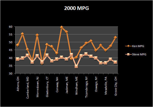
Mid-Atlantic
& Northeast
3091 Miles
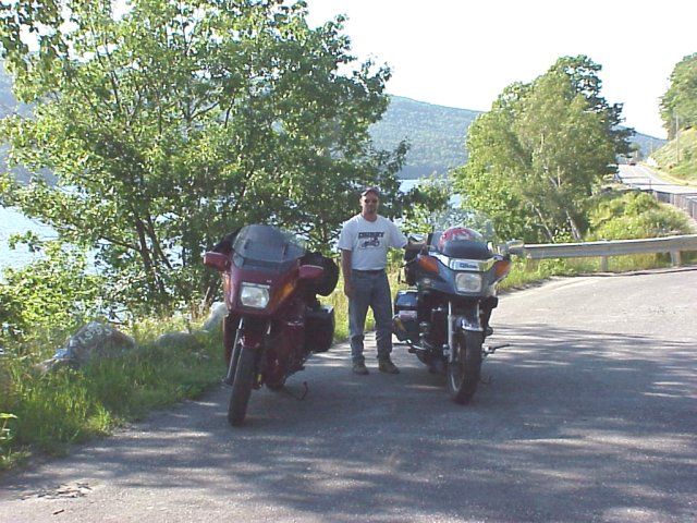
This trip was our first major trip
on our new bikes. We had been to the Northeast many times, but there were still
some roads we wanted to ride, and still some states we had not ridden in. We
decided to take a trip through the Mid-Atlantic States with another trip into
Maine
.

Day One -
Cincinnati
to
Cumberland
MD
(520 miles)
It
was becoming difficult to find a route through
Ohio
that we had not traveled. I believed we had found a new route that would
provide some unique scenery. We started by heading out Ohio
Route 32; the biggest drawback to this road is it is heavily patrolled. So
we kept it under 70, and cruised along eastward towards
Athens
; home of
Ohio
University
. At
Athens
we stayed on
U.S.
50 into Belpre where we picked up
Ohio
7 which took us into the old river town of
Marietta.
Having always wanted to take one of those Alps tours we decided to take some
back roads in
Ohio
that are surprisingly (I would think) similar to
Alps
country. Just past
Marietta
we begin our trek through Wayne
National Forest. At the town of
Fly
we turned left, and headed north on
State Route
800. This road climbs at a serious rate up to the town of
Woodsfield, the "
Switzerland
of
Ohio
" as it is called. Woodsfield is the main northern corridor to
Wayne
National Forest, and once through we began our descent back down to the river.
At Woodsfield we turned right onto
State Route
26. This road is a serpentine, winding and twisting all the way to
Jerusalem
. Turning right at
Jerusalem
we head due east looking for route 145. A left turn on 145 takes us to 148 for
a short jaunt before turning north again on route 9. At Jacobsburg we head east
on 147 which winds us down to Bellaire and the
Ohio River
. We jumped onto I-70 for a quick run through WV and into
Pennsylvania
. We stayed on I-70 and I-76 until exit 9 where we said goodbye to the superslab
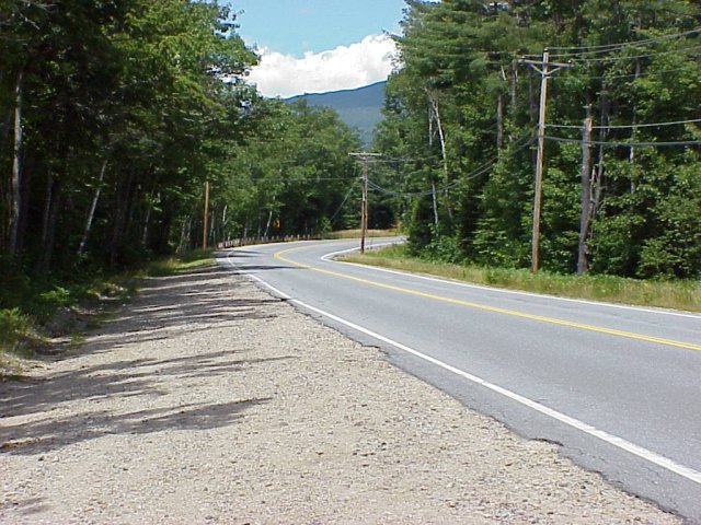
and ran for awhile on PA 31. This is a road approximately 100 miles in length of
exciting road and good scenery. Its many towns and villages are dotted with
historic buildings. PA 31 travels over the rolling hills of the Laurel
Highlands. Along this byway there are many interesting things to see, places
to stop, but the main attraction is the road. Just before
Somerset
we stopped for a break at Kooser
State Park. We stayed on PA31 until we got to the town of
West End
; a local road took us to PA 96 to the south and into Cumberland
MD. It was getting late so we started looking for a motel on the outskirts
of
Cumberland
. We pulled off I-64 in a stretch that used to be U.S.40. There we found a motel
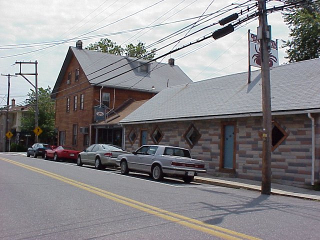
with a brewpub. The place was called
Uncle
Tucker's, and it contained a brew pub as well as a good restaurant next
door. It doesn't get a whole lot better than this. After some taste
testing, and dinner we called it a night.
View Larger Map


Day Two -
Cumberland
MD
to
Haverstraw
NY
(423 miles)
After our normal 7:00 a.m. departure we start by heading east on I-68. We
pick up I-70 at Hancock for a few miles before we decided to try the old
National
Road for awhile. We began heading east on
U.S.
40 just before Indian Springs. This is a grand old road, straight as an arrow
for the most part, but chocked full of old roadside buildings that used to
beckon tourists years ago. We passed over the superslab often but stayed on
U.S.
40 for as long as we could. At Frederick
U.S. 40 hooks back up with I-70 and into
Baltimore
. We took the beltway around
Baltimore
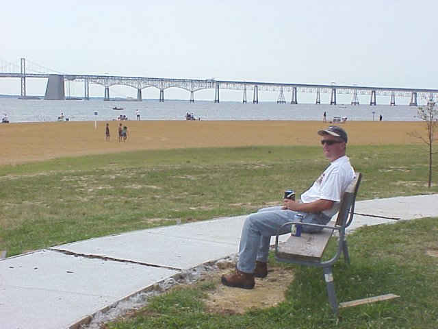
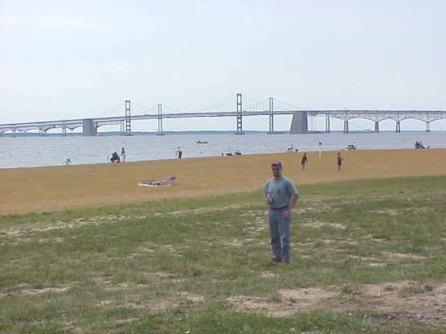
and got on MD 2 that took us to the Chesapeake
Bay Bridge that is
U.S.
50 &
U.S.
301. Just before the bridge we stopped at Sandy
Point State Park for a better view of the bridge. The bridge took us across
the bay where hooked up with MD 213. This road, commonly called the Bayside
Byway, runs up between the bay and the
Atlantic Ocean
. It appears flat and featureless to those luckless souls who are intent only on
reaching the Atlantic coast's famous beaches. Yet many nice country roads
meander along the inlets and tributaries of the much-heralded bay, running
through many a small town or village tucked away on the quiet shores. MD 213
runs about 60 miles from Wye Mills in the south up to Fair Hill in the north.
Most of the country road twists near, over or alongside scenic bodies of water,
both fresh, and salt. Bridges took us over the Chester, Sassafras, and Bohemia
rivers, and across Chesapeake
& Delaware Canal, part of the Intercostal Waterway. About half way up
the peninsula we stopped in the town of Chestertown.
This was supposed to be an historic town, but nothing much was open on Sunday
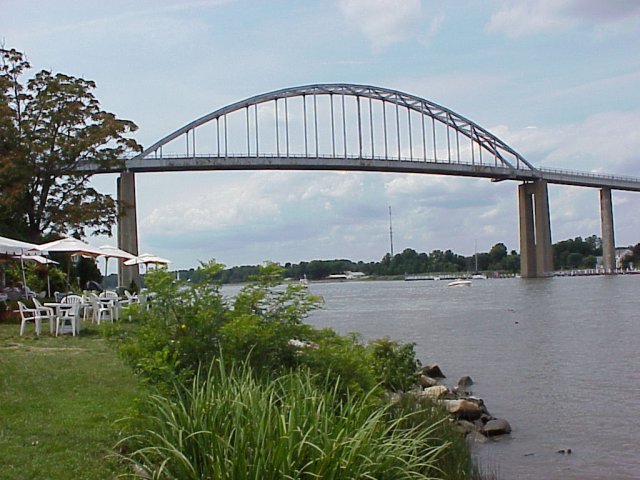
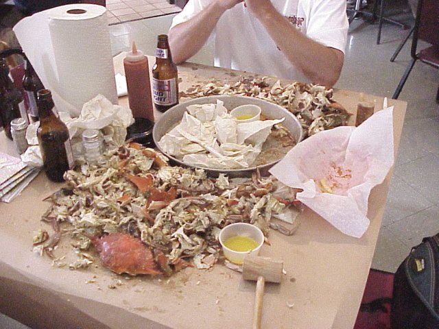
afternoon. So we continued up the road in an effort to find some crabs. We made
a stop in Chesapeake City
underneath a huge bridge, and found the Tap Room restaurant where we pigged out
on some of the famous
Maryland
crabs. Also in
Chesapeake
City
is the famous Bayard House.
This looked like a great place to eat, but we couldn't pass up the Tap Room.
Continuing on, we jumped on I-495 across a small part of
Delaware
, and into
New Jersey
. We had planned on taking some smaller roads in NJ, but we were running behind
schedule so just stayed on the NJ Turnpike. The Turnpike is not at all a
motorcycle friendly road. The one saving grace was the speed of the traffic. We
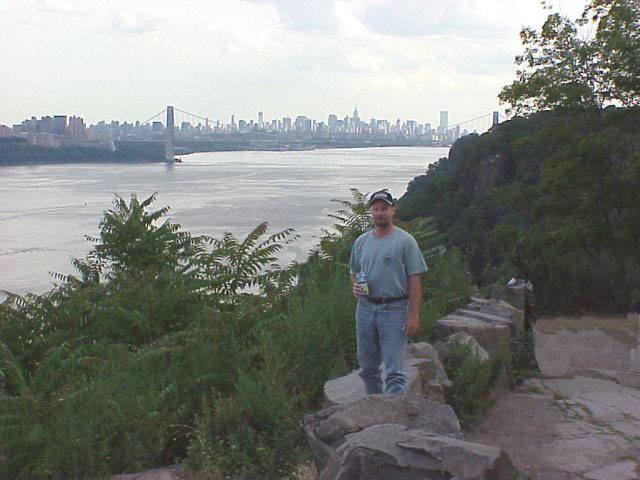
cruised at 80-90 M.P.H. just keeping with the flow. With the
New York
skyline off to our right we got onto the Palisades
Parkway and followed the
Hudson River
north. We stopped at one of the scenic overlooks to get a better view of The
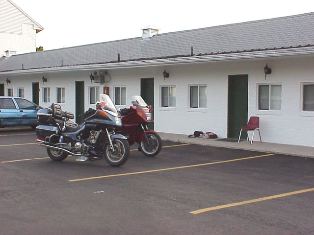
City. Just into NY we exited the Parkway and traveled north on NY 9W. We passed
a decent looking motel (by our standards, which aren't very high), but continued
into Haverstraw. We did not find anything better there, so we went back to the
Green Motel next to
High
Tor State Park for the night. We quickly discovered this motel must have
been renting rooms by the hour. Several taxis came in and out of the lot while
we sat and watched the sights.
View Larger Map
Day Three -
Haverstraw
NY
to
Boston
MA
(337 miles)
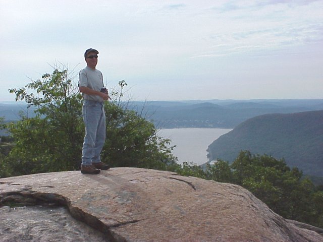
Leaving our motel we continued north on NY 9W. Following the Hudson
River we came upon Bear
Mountain State Park. We turned left into the park began an ascent up the
mountain. We took a road to a scenic overlook, and had the place to ourselves.
Not much tourism happening at 8:00 on Monday morning. The view of the still wide
Hudson
, and surrounding hills was below us. The road in
Bear
Mt.
St.
Park
led us back down the other side to the
Palisades Parkway
. The Parkway hooked us back into NY 9W where tuned once again to the north and
into the
West Point
area. We considered some sightseeing at West
Point, but with the roads in
Connecticut
calling us, we continued on. We intersected with I-84 where we turned east and
crossed the
Hudson
one last time. I-84 took us toward CT. We exited the I-84 at exit 18 where we
took NY 164, and NY 64 into CT. Once in CT., we began northward on CT 37. Route
37 north took us to
Sherman
where we turned on CT 39 up to Gaylordsville. At the intersection of U.S.7 we
turned left and again were heading north. The Housatonic
River was on our left running between the road and the
Appalachian Trail
. At Bulls
Bridge there is a covered bridge, and
Kent
Falls
State Park
looked like a nice spot for a picnic lunch. At Cornwall
Bridge we turned left onto Route 4 in the Housatonic
Meadows State Park, heading for
Sharon
, where we took Route 41 to Lakeville. We turned right onto U.S.44 which took us
northeast to
Salisbury
, and
Canaan
. All of the roads we were traveling on were nicely kept and great motorcycling
roads. Traveling southeast on
U.S.
44 we headed for the town of
Winstead
. There, as we were going through town, we experienced a good all fashioned
speed trap. The posted speed limit through town was 30 M.P.H. We did not think
we were going that fast, but two police waved us over in the middle of town, and
proceeded to give both of us tickets for 18 M.P.H. over the limit. We did not
argue the point that they could not have gotten Steve who was behind me.
Nevertheless the ticket was for a robust $134! We decided not to let this get us
down. This was only our second ticket in all of the miles we have ridden. We
proceeded on towards
Hartford
. U.S.44 dumped us into a shady part of town, so we elected not to gas up
despite the fact Steve was on reserve. Before we knew it we were headed down CT
2 where there was no gas station to be found. Sure enough the Venture ran out of
gas. Fortunately Steve had packed a siphon hose, and after some serious
spitting, and gagging we were back on our way. The next exit we came to did not
look particularly promising but we exited anyway. After seemingly another 10
miles we happened on a gas station in
East Glastonbury
just as Steve ran out again. We filled up, and went on our way. We had to get
to
Boston
by 5:00 to hook up with a colleague of mine who was taking us to
Fenway
Park
. Riding through
Boston
to our Courtyard Hotel in
Revere
was not particularly fun. The entire downtown area was under construction. It
took us some time to get to the Hotel but we pulled up right at 5:00. After
quickly getting ready for the game, we jumped into a taxi and headed to the
game. We had decided to try our luck on scalping tickets. Our thought was Monday
night against the Twins would not be a terribly large draw. We thought we had a
coup when we purchased $21 seats for $50. We headed to the beer stand slapping
ourselves on the back. Heading to our seats we were stopped and informed the
seats we had purchased were in an alcohol-free zone. What? That's right
alcohol-free zone! Needless to say we did not sit in our wonderful seats. We
stood in the back, and drank our beer. It was a 4-0 nothing game in favor of the
visitors, but no one left the park. But by the 8th inning we had
spotted some seats down close. We parked ourselves in these seats, and watched
the rest of the game. Afterwards we checked out the night life around the park,
and had a wonderful time.
View Larger Map
Day Four -
Boston
MA
to Jackman ME (355 miles)
Waking up after a night at the ball game was no easy task. Without too
much delay we started up U.S.1 towards our destination in
Maine
.
U.S.
1 was unremarkable, and before long we jumped onto I-95 just short of NH, and
progressed to
U.S.
4 and northward up the eastern side of NH. At
Rochester
we turned onto
State Route
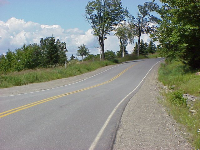
16. This road was in good condition, and had plenty of scenery. As we continued
up NH 16 the White Mountains
came into view. This view was quickly ruined by the traffic jam as we approached
Conway
. For about 10 miles up to North
Conway, traffic was bumper-to-bumper. We stopped at N. Conway for gas, and
continued northward through the White
Mountain National Forest. The traffic went away as suddenly as it came upon
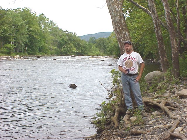
us. Just north of the town we stopped on the eastern branch of the
Saco
River
for a break. Continuing north on NH 16 we entered the town of
Gorham
where we turned right onto U.S.2. We have traveled this road a few times in the
past, and would gladly do it again. Staying on U.S.2 we turned left in
Mexico
on
Maine
's
State Route
17. This road provides beautiful scenery, but the road itself is not in great
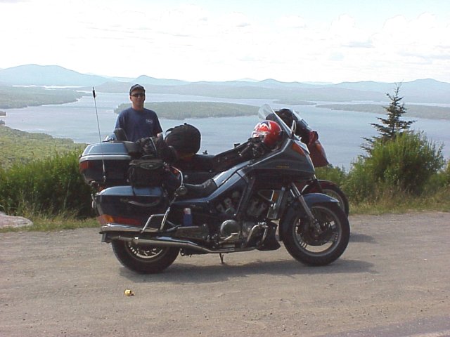
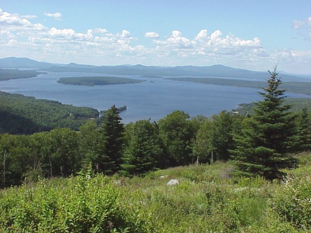
condition. We blasted up ME 17 until we came upon Mooselookmeguntic
Lake where we stopped at an overlook of the magnificent lake. The view
included a fantastic view of
Toothaker
Island
in the middle of the lake. As we continued on we reached the town of
Oqossoc
where we hooked up with ME 4, and headed east into Rangeley.
We rode around the northern and eastern shores of Rangeley Lake, and followed
the Sandy
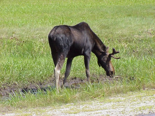
River down to Phillips. After tuning left on ME146/ME 16 before the town of
Salem
a car flashed his lights, we naturally assumed a trooper was in the area, so we
slowed down. Shortly thereafter we came upon a huge moose on the side of the
road. After several pictures of the beast, ME 16 took us on a northerly course
to Solon where we turned north on
U.S.
201. This road follows the Kennebec
River and is very good for motorcycling. Despite some construction on
U.S.
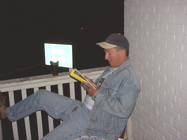
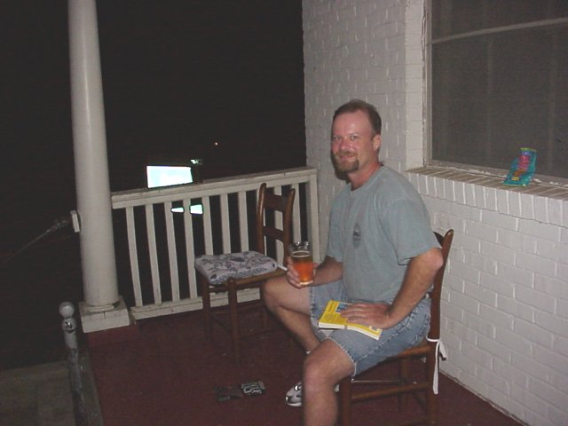
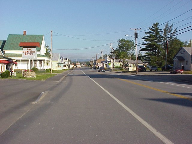
201 this was a wonderful ride up to Jackman. In Jackman we looked around for a
place to stay. There was not much to choose from, but after careful analysis of
the situation we chose the Comfort Motel. The $40 room fit our budget well, and
the room was perfect. After a "home cooked" dinner at a local
restaurant (Mama Bear's Den Cafe) we parked ourselves on the front porch of the
motel and enjoyed a few adult beverages. Two guys working on the road were
staying there for several weeks, and provided some good conversation. After
awhile some teenagers passed by to shoot the breeze. The talk turned to sports,
as it always does, and Steve had to mention that he thought he was fast. One of
the teenagers felt he could beat him. The race was on. It ended in a virtual
tie, and the teen was amazed when he learned he could not beat a man three
months from his 40th birthday. He is sooo competitive.
View Larger Map
Day Five - Jackman ME to
North Woodstock
NH
(344 miles)
We started the day looking forward to another great day's worth of riding
in
Maine
. We started out heading east on
State Route
6/15, we rode along Long Pond. However, this pond was more like a lake. The
scenery remained wonderful, and the road was in decent condition. At Rockwood ME
6/15 takes a southerly course and runs along Moosehead
Lake. We were still in the mountains at this point, and passed Big
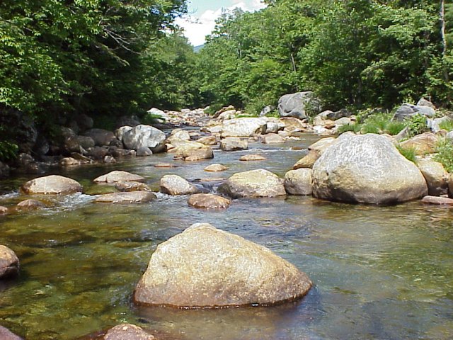
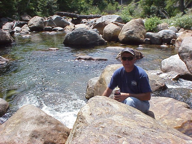
Squaw Mountain on our right. At Monson we bore right and ran along the
Piscataquis
River
. In
Abbott
Village
we stopped at the river for a break. As we continued toward the ocean we began
to lose sight of the mountains. Just south of Dexter we picked up ME 7. What a
terrible road! This road was in absolutely pitiful condition. We even briefly
stopped to see if there was another route that we could take down to
Belfast
. Finding no alternate route we continued on. The road meets the ocean in
Lincolnville and
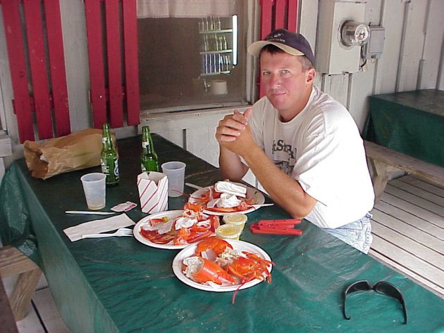
we were ready for lunch. We found a little lobster shack next to the water, and
pulled in for lunch. After munching a couple of lobsters we had a decision to
make. We had planned to run east up the coast, stop at Bar Harbor, and the night
back in
Belfast
. We had been watching the weather the night before, and realized rain was
expected in the entire region. Since we wanted to ride the Kancamagus
Highway under good conditions we decided to turn west, and ride the highway
while it was still nice weather. We rode down the coast on U.S.1 toward
Portland
. This is a wonderful road, and packed with scenery. At
Brunswick
we jumped on I-95 down to
Portland
. We found
U.S.
302 on continued West.
U.S.
302 is also a nice road. Just outside of
Portland
it runs along
Sebago
Lake
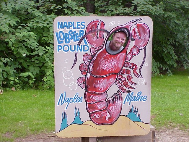
. At the northern end of the Lake is the town of Naples.
As we rode through the town we noticed another lobster restaurant. We could not
pass it up. After another couple lobsters under belt we continued on. As we
crossed back into NH we turned on NH 113 which turns into the
Kancamagus Highway
once it crosses NH16. The highway did not disappoint, It was just as we
remembered it from 1994. It was more fun for me this time on the BMW. Turn after
turn never seemed to end. As we pulled into
N. Woodstock
we began looking for a motel. We found a great place to stay. We decided to
take a stroll through the town. This town was full of tourists. We found another
place that was still serving dinner, and we just couldn't pass more lobster. We
only had lobster rolls this time.
View Larger Map
Day Six - North Woodstock NH to
Milford, NY (348 miles)
Day six started in a steady rain; not the best way to start, but we didn't
have much choice. The Green
Mountain gaps, unlike the
Rocky
Mountain
passes offer roads less traveled. We started out west on NH 118, probably a
good road when it is dry. When we came into the town of
Warren
we had to make a decision regarding which road to take over
Piermont
Mountain
. We opted for 25A rather than the planned 25C. 25A looked like a better road
for riding in the rain. Once over the mountain we hooked up with I-91, and
headed south for a short while. The rain was getting heavier when we exited on
NH113. As we began to head north and west the rain lessened. Just south of Post
Mills we spotted a good spot for a break. It was an old CCC camp that was during
the construction of many of the roads in the area. The camp was alongside the
Ompompanosuc
River
. NH 113 turns into NH 66 west of I-89. NH 66 and NH 12 are sweeping roads
flowing along riverbeds carved eons ago. Just before NH 66 reaches
Randolph
the scenery reveals the incongruous mountain scene of two whale flukes. At
Randolph
we headed south on NH12;
Rochester
Mountain
was on our right. At
Bethel
we turned right on NH 107 until we picked up NH 100 at Stockbridge. NH 100 is a
long valley road we had traveled on in 1997, and parallels the
White
River. Typical of valley roads, the curves on NH 100 are long and sweeping,
with plenty of scenery and views. Fortunately the rain had all but subsided for
our jaunt through the
Green Mountains
. Our ride on NH 100 lasted only about 10 miles before we turned left on NH 73.
NH 73 took us over
Brandon
Gap straight, figuratively speaking, into the town of
Brandon
. The east-to west route to
Brandon
is the longer ascent through Brandon Gap (I always like going uphill better).
We continued on NH 73 until it dead-ended into the Champlain
Canal. There, we took a ferry across to
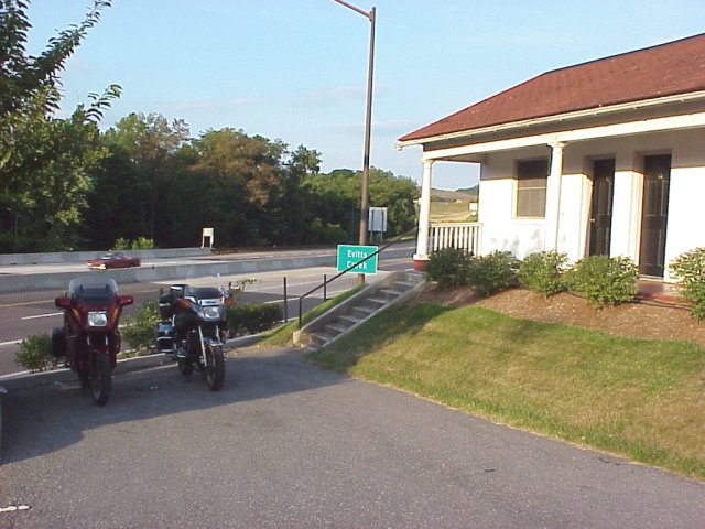
Ticonderoga
NY. Once across we headed south on 9W towards Lake
George. 9W parallels the lake all the way into the town of
Lake George
. Knowing
Cooperstown
was our final destination, and still early in the day we decided to head back
up north on I-87 to hook up with NY 8. This road took us through the southern
portion of the
Adirondacks
. NY 8 blends into NY 30 and continues south to
Amsterdam
. Both of these roads were chocked full of scenery, and in good shape. We passed
by the Great Sacandaga
Lake, and continued until we hit
U.S.
20. There we turned west and headed for
Cooperstown
.
U.S.
20 is mostly 4 lane highway through the rolling hills of eastern NY. It was
getting a little late, and we passed some pretty decent motels, but we continued
on. We headed south on NY 80 and rode along
Otsego
Lake
. This was a very nice area, and full of vacation homes. As we neared
Cooperstown
we passed a rather large building with well dressed people walking in. It was
an opera house. We began to think there may not be the classical cheap motel in
Cooperstown
. We were right, we stopped on the south side of the town, and inquired about a
particular motel's rate. With no cars in the lot we thought we might be able to
strike a deal; no such luck, so we continued on. Just north of
Milford
we found a motel with a grass parking lot, and no cars in it. We had found the
spot. We walked into town, and ate at the local tavern.
View Larger Map
Day Seven - Milford, NY to
Cincinnati
(764 miles)
Once again the day began in rain. We began to develop our plan to go ahead
and ride home in one day. We did not want to ride in the rain again the entire
day. We rode south to I-88 and headed west. I-88 and NY 17 (essentially an
interstate) took us to I-79 in PA. There we headed south. We continued to ride
in and out of the rain. Just outside of
Pittsburgh
the skies opened up in a torrential downpour. I radioed to Steve to pull
underneath an overpass so I could get my rain boots on. As lightning struck a
mere 200 yards away, Steve discovered his clutch had gone out. We messed around
with the diaphragm on the clutch reservoir with no luck. I had experienced some
problems with the bike a few years ago, but never totally lost the clutch. After
giving up on fixing it we decided to push the bike (uphill), and jam it in
first, and I would catch up. It worked. Now the problem; we still needed to stop
for gas at least twice to get home. Our first try was going to be near
Wheeling
WV
. I got well up in front and checked out the exit and decided it could be done.
I radioed Steve the directions off the ramp. He skillfully came down the ramp,
caught the green light and pulled uphill into the gas station. After fueling up
we repeated the process. Since he was headed downhill it was easy to get
started; but once started he couldn't stop. Shortly we were headed west on I-70.
We thought one more time, and we'll be home. While we were patting ourselves on
the back we noticed a traffic jam as far as we could see. So we limped down the
shoulder knowing the police would probably stop us. After explaining to all the
outraged truckers what was going on we saw the light at the end of the tunnel
(or traffic jam). No cops to be found. Our last stop in
Grove City
just south of
Columbus
was more eventful. There were more lights, and more traffic than the first
stop. We pulled it off though, and got on our way home. Steve didn't stop until
he reached his garage door. Fortunately he does not live too far off of the
interstate. A very harrowing experience.
Email me Ken Adams

Home
