Roaming Wyoming
2255 Miles
This year we tried something we would not have even imagined a few years ago. We wanted to explore Wyoming as we had been through various parts of the state throughout the years. The downside to our plan was another trek across the plains states. We have traversed the plains states no less than three times. So, we had the bright idea to trailer our bikes to our destination. We borrowed a trailer from a friend of Steve’s and we were in business. We employed our recent strategy of staying in one place and branching out, returning each night to the same place. In complete retrospect it was a success. We did not like the fact that we missed the ride in, but upon our exit in 100o plus heat, we decided we had made the right decision.
![]()
Saturday
(102 miles)
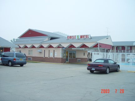
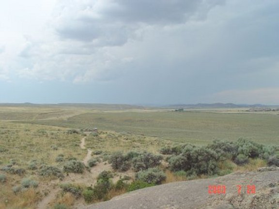
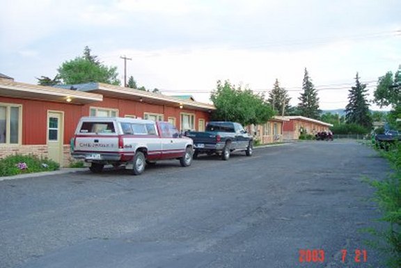
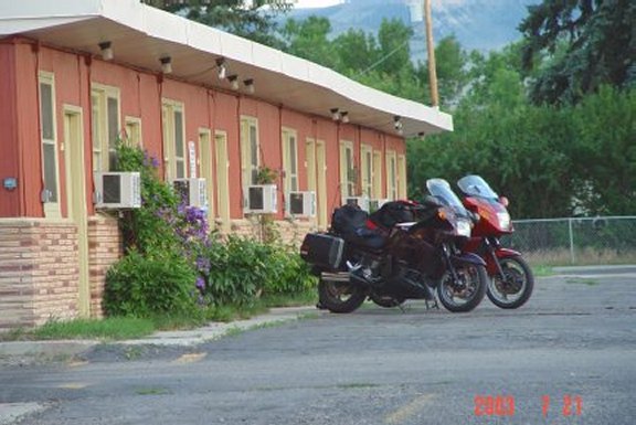
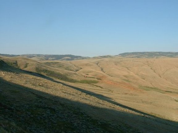
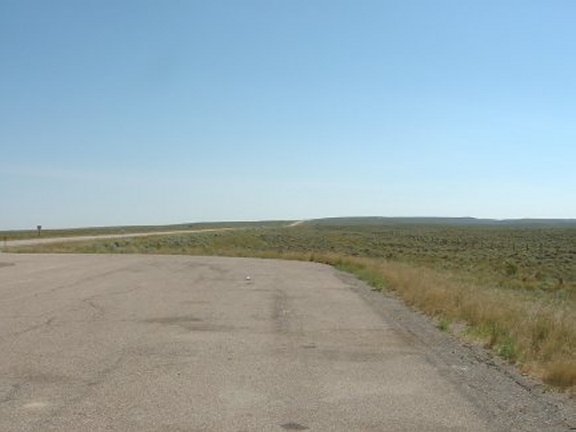
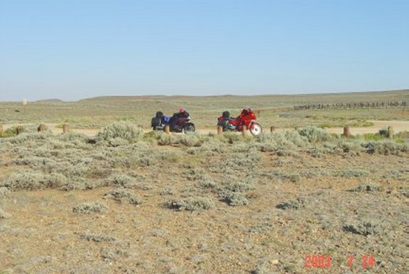
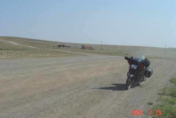
We left Cincinnati early on Friday morning stopping in Kearney NE at The Circle "S" Motel for the night (KMZ). We picked up Saturday morning after about 6 hours in the sack and arrived at our destination, Lander WY, around 3:00 in the afternoon. The trip in on Saturday was marked by a lot of construction but also some decent scenery. We stopped at Split Rock (KMZ) where the Oregon Trial crosses US 287 north of Rawlins. This was a beacon for the pioneers crossing the vast open spaces of Central Wyoming and is known as the Sweetwater Trail. It is on the banks of the Sweetwater River and a resting spot along the trail. Once in Lander we unloaded around 3:00 (KMZ) in the afternoon and readied ourselves for some local roads. We went north of town to Baldwin Creek Road and went up into the mountains. We did a little off road riding on some gravel roads in Indian Territory and got a feel for the local roads. Quite honestly we got a little lost but found our way back down the mountain. The road was quite bumpy and our bikes were not suited for this type of riding. We wound our way back down to Sinks Canyon Road where we stopped near Sinks Canyon (KMZ) and found a spot on Popo Agie River where some locals were swimming. We didn’t join them but the spot looked nice enough to jump in. Back into town we stopped at the local bar and eatery, Lander Bar (KMZ), for some liquid refreshment and food.
![]()
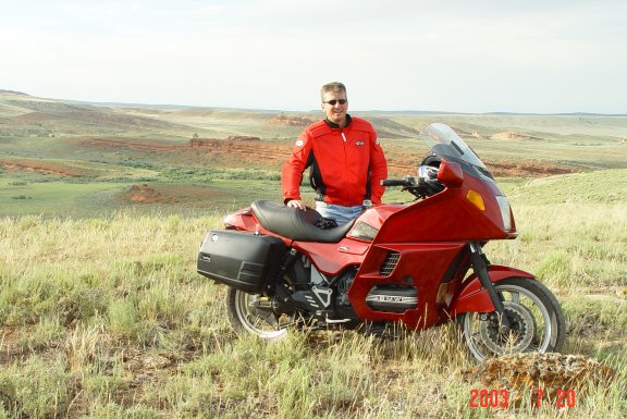
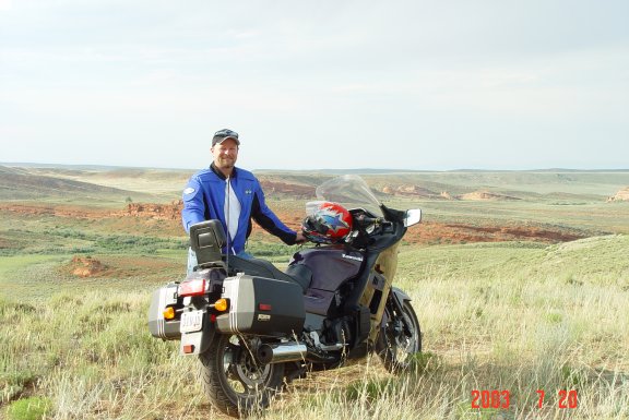
| Circle'S' Motel | Our Chariot at Split Rock | Another at Split Rock |
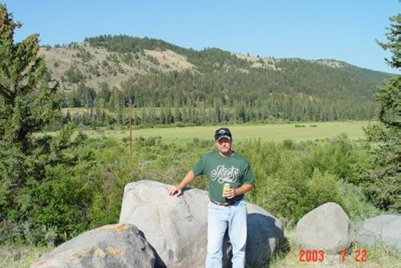
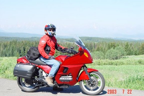
| Horseshoe Motel in Lander | The bikes at the motel | Ken in Wind River Reservation |
| Steve in Wind River Reservation | Wind River Reservation |
![]()
Sunday
- Big Horn National (511 miles)
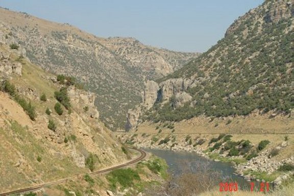
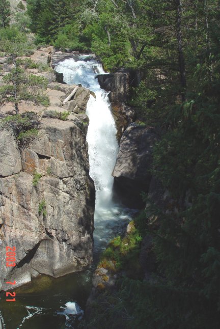
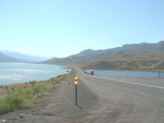
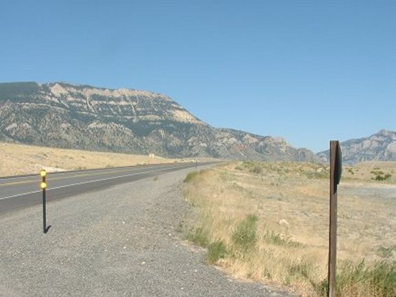
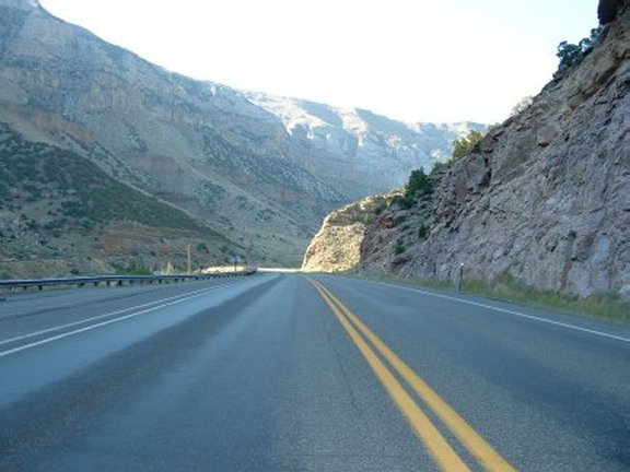
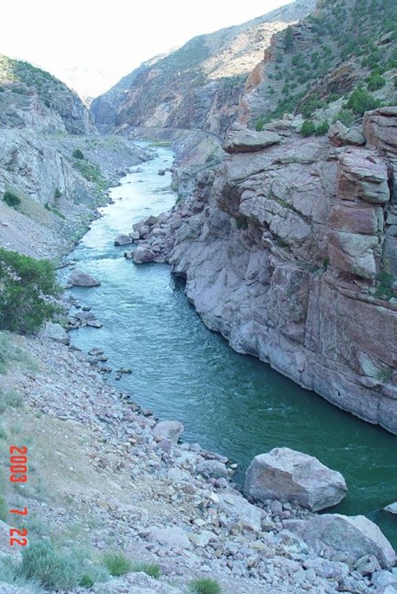
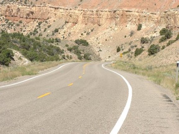
We started the day by having breakfast at the Pronghorn Motel restaurant. We headed north on W789 toward Riverton. The road was under construction so the start of the first day was not what we had hoped. Once in Riverton we stayed on W789 on a northeasterly course toward Shoshoni. Between the two towns the bicycle traffic picked up significantly, they were everywhere. Shoshoni appeared to be the hub of this peculiar activity. Shoshoni is on the south side of the arid Wind River Canyon. Shoshoni appears to be one the many Wyoming ghost towns in the making. The town had thrived during the boom of Uranium mining in the 70s & 80s but seems to have fallen on tough times since the price crash in the 90s. We stayed on W789 toward the Owl Creek Mountains looming on the skyline. After leaving town the road crosses arid grassland before coming upon the Boysen Reservoir. The dam built in 1951 creates a 19,000-acre lake fed by the Wind River. After about ten miles we entered the Wind River Canyon with cliffs rising abruptly and tower fangs of eroded white rock. The road through the canyon shares itself with a rail line on the opposite side of the river. There are three tunnels we passed through that were marked by dark-colored rocks. At the first tunnel (KMZ) we passed the old dam quickly followed by the newer dam. Once past the dam the road drops closer to the water’s edge. Rock formations along the road are marked by signs stating their name and age. We made our first stop at one of the numerous turnoffs overlooking the Wind River (KMZ). Back on our steeds we headed toward the town of Thermopolis (KMZ) where the river unexplainably changes names to Big Horn River. After another ten miles the canyon ends as quickly as it began as the river dumps itself into the Big Horn basin. As we approached town we crossed the river and were into the town of Thermopolis. The town is famous for its hot springs. We stopped at an overlook to take a picture of the springs in Hot Springs State Park. We stayed on W789 to Worland where we stopped to gas up (KMZ) and down some badly needed water as it had gotten fairly hot. In Worland we picked up US16 east toward the town of Ten Sleep. Ten Sleep lies in the lush valley bottom of the Big Horn Mountains surrounded by red rock bluffs on the western edge of the Big Horn Mountains, and is the beginning of the Cloud Peak Skyway. The road begins a climb up Ten Sleep Canyon (KMZ), a broad farming valley at first with green cottonwoods and willows. Shortly after we passed through the farmland the valley narrows into a canyon with red and white sandstone cliffs. The canyon walls get gradually higher with cliffs formed of white and gray limestone and dolomite. After about twenty miles we entered the Big Horn National Forest. The road through the canyon and the forest is chocked full of switchbacks and twisties. There was a moderate amount of traffic but we had no problem getting around it. We stopped for a break just as we entered the Big Horn National Forest. We passed Meadowlark Lake on our right in a valley below the road. The road continues to climb above the lake up to the Powder River Pass where the forest opens up into broad open grassy alpine meadows. After Powder River Pass it was all downhill into the town of Buffalo. Buffalo was the focal point of the Johnson County War. This war was fought between sheepherders and cattle ranchers. The cattle ranchers were the aggressors and nothing much happened to the small band of invaders that were captured and sent to prison. They spent little time in the pen and quickly fled back to Texas from where they came. Once through Buffalo we jumped on I-90 north toward Sheridan. We stopped at Lake De Smet to gas up before continuing on (KMZ). We exited the interstate north of town near the Conner Battlefield Site and caught US 14 east. We stopped near Fallen City at a place known as Buffalo Tongue. The Indians of the area named this area after the rough rock formation in the area that resembled a Buffalo’s tongue (KMZ). We thought this was a bit of a stretch but we haven’t seen many Buffalo tongues. Before Buffalo Tongue we passed through the town of Dayton. Dayton lies at the eastern edge of the Big Horn Mountains in the lush floodplain of the Tongue River. The Indians and the US Army hotly contested this area in the 1860s. The mountains loom in the distance as a towering wall over which it would seem impossible to build a highway. The road initially follows the Tongue River upstream, but soon climbs out of the river valley to the south. The road climbs gradually but quickly begins in earnest and many switchbacks are encountered. An overlook just beyond our stopping point at Buffalo Tongue overlooks Fallen City; a field of huge blocks of Madison Limestone that have broken loose and slid down tilted rock layers underneath. After the overlook the road turns away from the vast Powder River Valley and follows a canyon up to the crest of the mountains. About 20 miles beyond Dayton the road continues through meadows and thick pine forests. We stayed on US14 where US14A turns off to run Medicine Wheel Passage. We crossed over the 9,000 ft. Granite Pass descending down into shell canyon. We stopped at Shell Canyon Falls to view the 120 ft. drop on Brindle Creek (KMZ). After Shell Falls we stayed on US14 down to the town of Greybull. There we got back on W789 down to Worland and retraced our steps from the morning stopping at the old dam site on the Wind River just south of the tunnels. To avoid the construction on WY789 we turned north on US26 and then south on WY132 at Kinnear. This route was not really a shortcut but one worth taking. We went though the town of Ethete and caught US287 back into Lander. That night we ate at the Lander Bar where we met some other local riders and discussed some alternate routes that only the locals know.
![]()
![]()
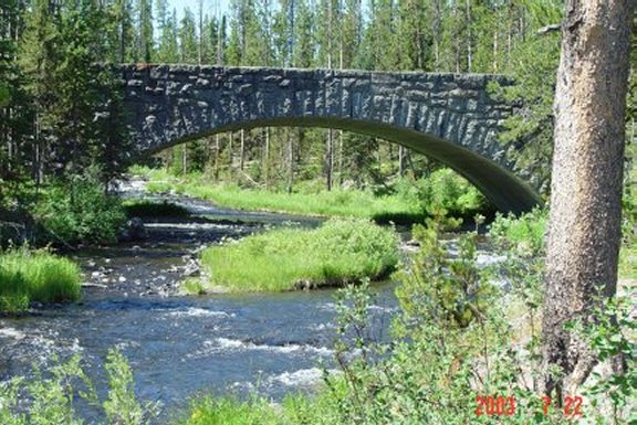
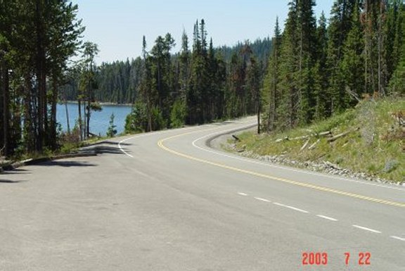
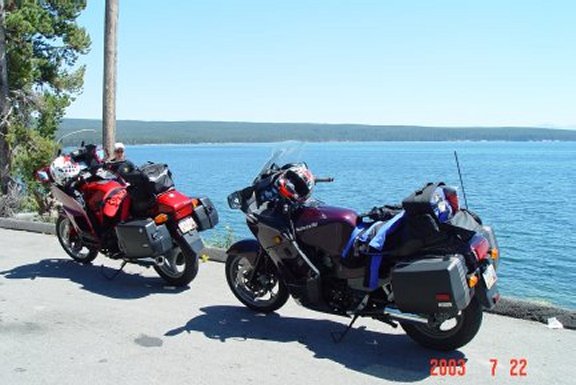
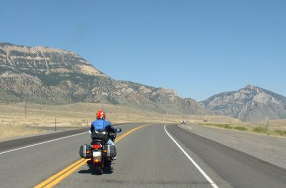
Monday - Yellow(stone) Fever (471 Miles)
![]()
![]()
Tuesday - Titantic Tetons (380 Miles)
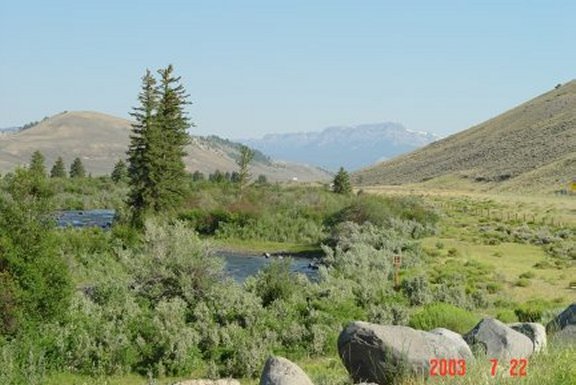
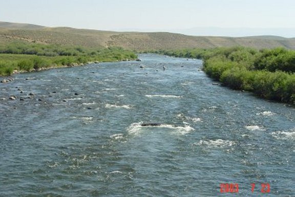
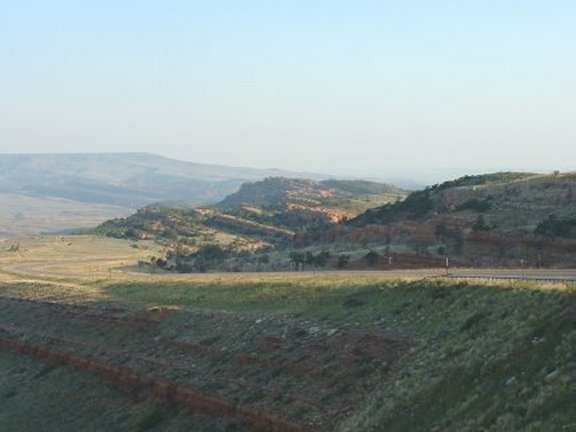
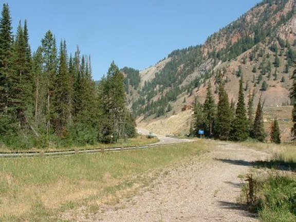
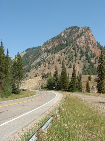
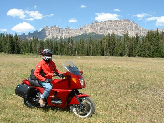
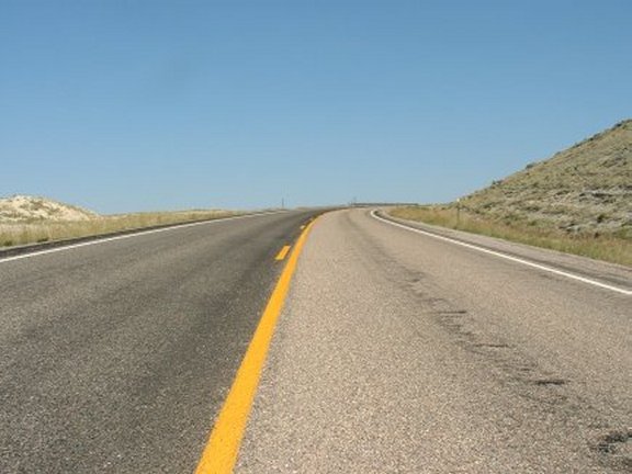
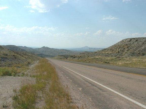
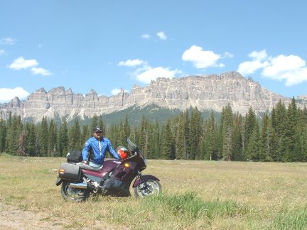
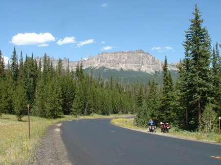
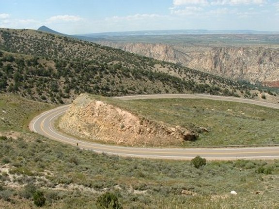
We started the day riding south on WY28. The road climbs upwards toward the Red Canyon and then runs along the rim. Plenty of nice view abound (KMZ) before the road flattens out on the Wind River Range. We passed over the Continental Divide and continued toward the town of Farson where we turned on US191 and headed north toward Pinedale. We passed the Big Sandy State Recreation Area and the Big Sandy Reservoir to our east. The scenery didn't change much as we followed Pine Creek with The Mesa to our west. In Pinedale we stopped for gas and continued north. We noticed a lot of dual-sport bikes which gave us an idea for next year. US191 crosses over the Green River and bypasses the old Warren Bridge (KMZ). We snaked around and got onto the bridge for a rest stop. There were a few people in the river fly fishing as we watched over them soaking in the views. Continuing north on US191 we began to descend into the broad valley around Bondurant. This area is relatively treeless but the mountains above were wooded. As we continued our descent we began paralleling the Hoback River. Forested slopes and rocky peaks were in view rising from the canyon bottom. We stopped high above the river along the canyon for a break. As we continued we came upon the intersection of US89 running north to Jackson. This junction lies at the confluence of the Hoback River and the Snake River. Just north on US89 lies the small town of Hoback Junction. About 12 miles later we were in Jackson. A very touristy place, we didn't plan on spending much time there. However, it was about lunch time and we spotted a Sushi place and we thought we would give it a try. It wasn't very good, but probably not bad considering we were in Wyoming. After lunch we continued north to Moran Junction where we had been the day before. We picked a different spot for pictures closer to the Tetons. Riding along close to the Tetons, it is difficult to keep your eyes on the road. We turned east on US287 and traveled this wonderful road the opposite way. This time we stopped for pictures of Pinnacle Buttes and the Breccia Cliffs (KMZ). Continuing east and south on US287 we were back in Dubois. My front tire was beginning to show some wear so we stopped at a local motorcycle dealership specializing in Royal Enfields but they did not have the right tire. We continued on. We stopped short of Fort Washakie for another break and before we knew it we were back in Lander. We had decided to eat at the fancy place in town that night, so we back and cleaned up before eating at the Cowfish Restaurant. It was very good food and a little out of place for such a small town.
![]()
![]()
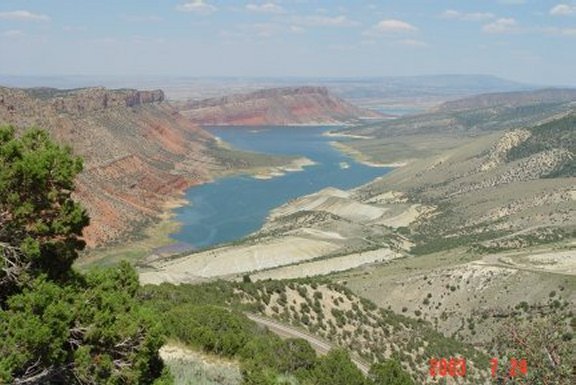
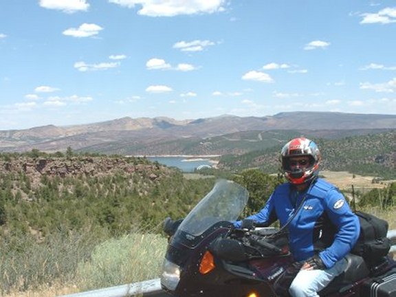
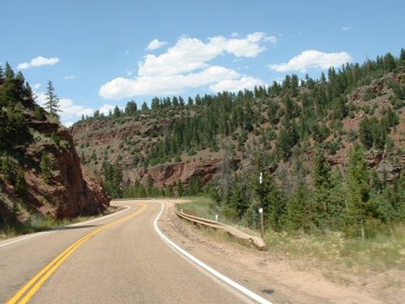
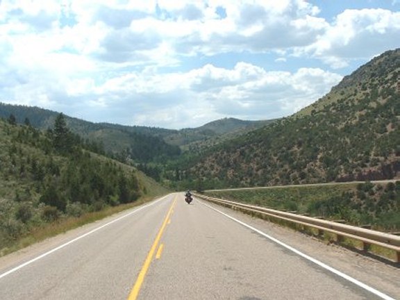
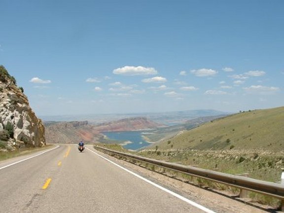
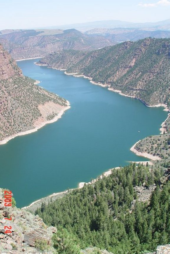
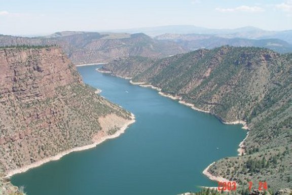
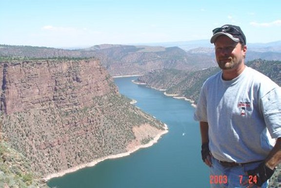
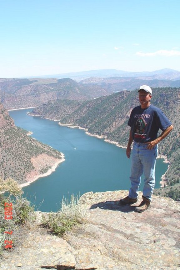
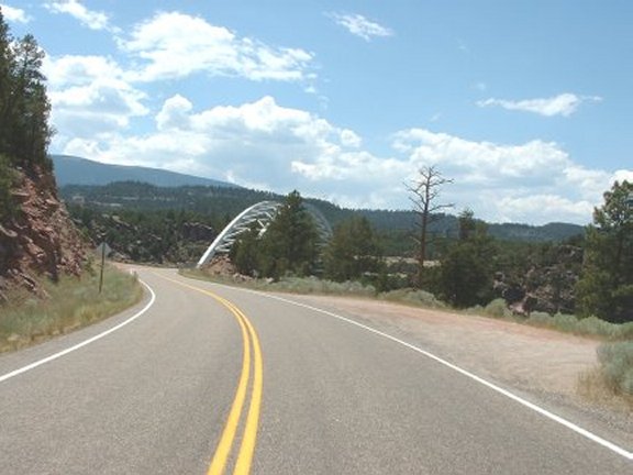
Wednesday - Flaming Gorge (535 Miles)
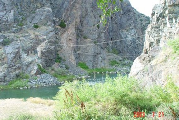
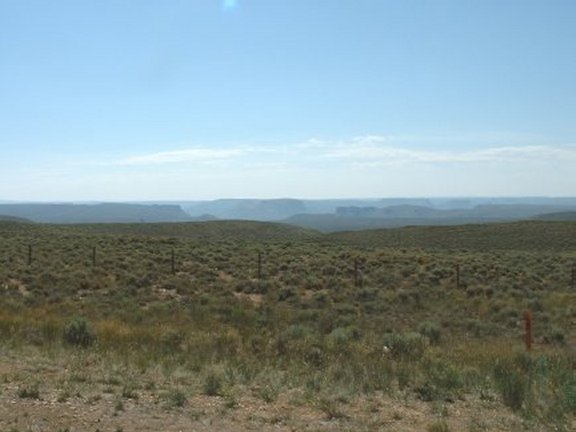
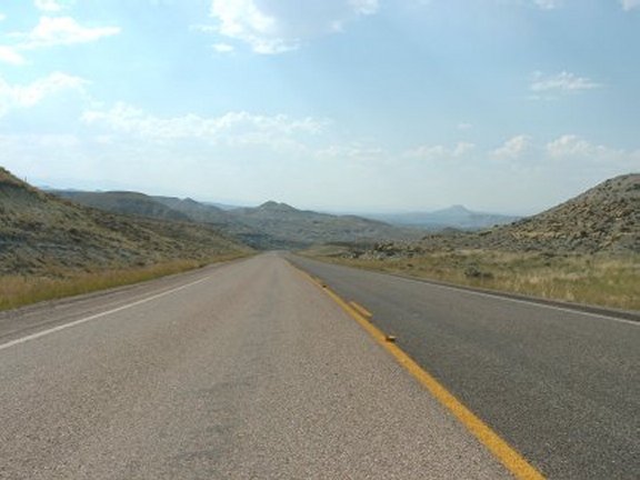
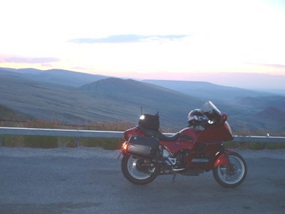
We began the day by heading south again down WY28. We had noticed a little pull off that had an historical marker about South Pass about half way between the South Pass City turn-off and Farson. We stopped to read the markers and view the former wagon train route of the Oregon settlers (KMZ). Once in Farson we turned left this time and headed south on US191. Once in Rock Springs we stopped for breakfast. Rock Springs is a rather unattractive place, and rather large by Wyoming standards. We jumped on I-80 west for a few exits before picking up WY530 on the west side of Flaming Gorge Reservoir. In hindsight we should have gone down the east of the reservoir as the road on the west was dead straight and the view of the reservoir was mostly blocked by the foothills around the reservoir. WY530 turns into U43 at the border and shortly dumps into the town of Manila Utah. We caught U44 that runs the south side of the reservoir. The scenery improved dramatically. The road leads through the Sheep Creek Geological Area, an area of twisted rock, a massive fault, towering crags, a large spring, a cave, and other sights. We stopped at the Navajo Cliffs (KMZ) area for a break and to look around. The deep red color of the canyon along the river led to the recreation area's name, first given by explorer John Wesley Powell on May 26, 1869. The famous expedition was the first group of white men to float through the canyon. We found a campground that led to a perfect spot overlooking the reservoir. After soaking up the scenery for awhile we continued around the lake. We came upon the dam and the Mustang Bridge (KMZ) that passes over it. We rode around to Dutch John Utah and stopped to gas up. We needed to go back the same way in order to cover the western side of the state and go into Idaho. So we picked up a sandwich, and headed back to the spot overlooking the reservoir (KMZ). After lunch we covered our tracks back to Manila. There, we turned left in U43 and back into Wyoming. The road turned to into WY414. We continued north on WY412, picked up US189 and rode into Kemmerer WY. Once there we picked up US30 and headed west for Idaho where we planned on spending the night. We stopped at Fossil Butte along US30 to see what was there. There was not much to see, so we walked around a little and decided to ride on. As we started to leave I realized my bike's clutch would not engage. Imagine the frustration, we were out in the middle of nowhere, our cell phones had no signal and my bike was totally inoperative. We discussed our options, I tinkered with the clutch but to no avail. After further tinkering it began to engage, and our prospects looked a little more promising. Within another few minutes it seemed to be functioning perfectly. Now we had another dilemma; should we continue or try to make it back to Lander. We decided if it happened once it would probably happen again. So we decided to go back to Lander. We headed back on US30 east back into Kemmerer, and then north on US189. We turned right heading east on WY372 and then caught WY28 which would take us back to Lander. My bike was running fine, so we decided to stop at Seedskadee National Wildlife Refuge along side the Green River for a break. Not much was there to see, and after a quick bike check we continued on. As we rode darkness was quickly falling so we increased our speed to make the Red Canyon around the final sunset. We stopped where we had been the day before and snapped some pictures at sunset. Back into Lander we did our usual routine; wash the dust off of the bikes and enjoy some adult beverages.
![]()
![]()
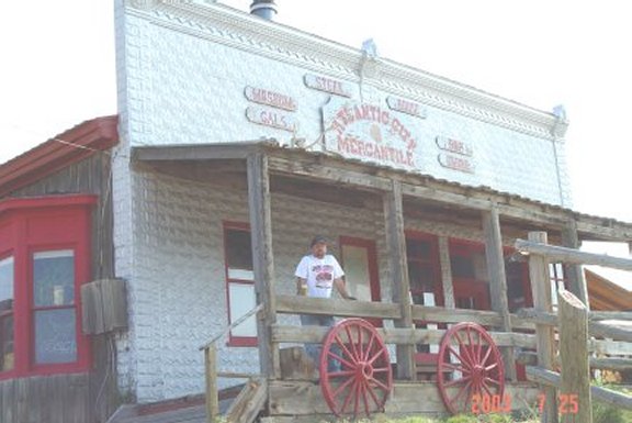
Thursday - South Pass City (256 miles)
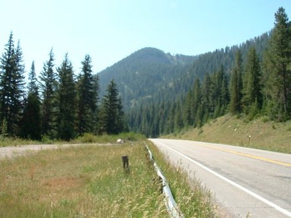
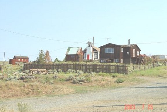
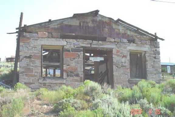
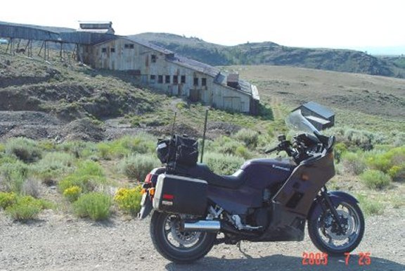
Although my bike now seemed to be operating normally, our return to Lander meant we would have to improvise for Thursday. The one bad thing about our new style of staying in one location multiple nights is it didn't work as well in the vast expanses of Wyoming as it did in the Southeast like 2002. We would have to ride hundreds of miles to get anywhere we hadn't already been, and in the case of most routes multiple times. So we had decided the night before we would stay close to Lander and do some sightseeing; at least by our standards. We decided to head south on WY28 and go into the ghost towns of Atlantic City and South Pass City. The area around Lander and these smaller cities had virtual open warfare between cattle and sheep herders in the late 19th century and early 20th century. Butch Cassidy was actually tried in the town of Lander in 1893 for possessing stolen horses. In 1908 sheep herder J.W. Blake had 350 of his sheep slaughtered by attackers who overran his camp he leased on the Wind River Indian Reservation. The railroad arrived in Lander in 1906 spurring further growth. Mining in Atlantic City and South Pass City came and went in these years. U.S. Steel opened a large mine near Atlantic City in 1962 but it closed by 1983. After a short ride on WY28 we turned left towards the Atlantic City Campground. Atlantic City is maybe five miles off of WY28 on graded gravel road. Atlantic City is small settlement of historic wooden cabins and buildings in a small valley cut by Rock Creek. We arrived fairly early in the morning so there wasn't much movement. The center of activity in the sleepy little hamlet is the false fronted Atlantic City Mercantile (KMZ), complete with a restaurant and a bar with a bullet hole in the back-bar mirror. We had stopped to look around and went into the store to browse. After a short time we continued down the gravel road (now packed dirt) to South Pass City. Like Atlantic City, South Pass City consists mostly of a small collection of wooden homes and buildings. The town was named for a nearby low mountain pass crossed by the Oregon Trail. Gold was first discovered in the area in 1865 by soldiers from Fort Bridger. The Carissa Mine developed at the site just outside of town. We stopped to take some pictures. By 1872 with no major lodes having been discovered the town began to die. Smaller booms in the 1880s, 1890s, 1930s, and 1960s kept both towns alive. In 1965 many of the South Pass City buildings were nearly hauled off to a California Amusement park, but a group of Wyoming citizens raised money to keep them in place. It is now a park of sorts itself, and for a small entrance fee we were able to walk around the buildings. Most have been restored to their original condition and offer a nice historic view. The road continues back onto WY28 where headed north for a few miles before picking up Louis Lake Road. This road was not nearly in as good of shape as the road to South Pass City so the going was very slow. The road descends through a rocky canyon through a good stand of spruce. Shortly after that we came upon Louis Lake. There was a lodge there with cabins in the surrounding area. We stopped for a dip in Louis Lake (KMZ). It was very cold so we didn't stay in long, the outside temperature was not very hot to begin with. We began the climb back up and ran along Fiddler's Lake. A very nice serene lake its waters were a deep blue color. Snow-capped mountains to our west of the Wind River range could be seen as we began a big descent down to Sinks Canyon. We stopped at Sinks Canyon State Park, this site was created because of the odd behavior of the Middle Popo Agie River. The waterway flows down toward the valley from the high peaks of the Wind River Range, gaining in volume as it goes. However, it abruptly disappears in a large sinkhole in the bottom of the canyon in the state park, only to reappear again less than half a mile down canyon. We went into the state park to view the sink hole, took some pictures and headed back into town. We loaded up our bike in preparation for our journey home the next day.
![]()
![]()

Email me Ken Adams

HOME